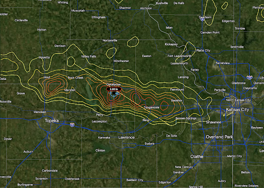
[Updated, 6:55am Thursday] What Actually Happened?
The forecast was of excellent quality.
Hail up to baseball-sized fell. Congratulations, NWS SPC. -----
NWS SPC just released this forecast valid until midnight.
Radar shows what will likely be the hailstorms forming near Manhattan. 9:27pm
-----
With the benefit of the evening data from weather balloons, the HRRR model has changed its forecast. No thunderstorms in southern Kansas this evening.
Midnight:
4am Thursday:


Comments
Post a Comment