Update on Southern Plains to Midwest Rain Event
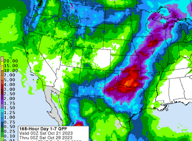
Some areas will receive the heaviest rains they have received in months. The map below is a forecast of rainfall amounts between now and Friday evening.
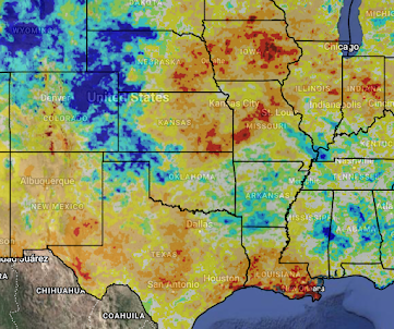
This NWS forecast calls for the heaviest rains (5"+) in far southwest Oklahoma. That seems a reasonable estimate of the location of the maximum rainfall -- although it could be 100 miles or so in any direction. The rain will fall in some of the areas that need it most per the October 12 Palmer Drought Index.
As mentioned before, winter wheat planting is in progress in Kansas and Oklahoma. The rail will be critical to getting the crop off to a good start.


Comments
Post a Comment