Update on Tornado and Wind Potential; 12 Noon PDT
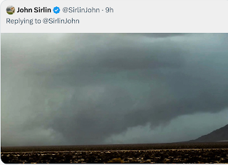
There was at least one tornado and at least one funnel cloud yesterday.
--- original forecast ---
Hilary (the swirly symbol) continues to move NNW paralleling the coast of Baja California, Mexico. The area outlined in red has a significant risk of tornadoes the rest of the afternoon. Below is a list of peak wind gusts so far.
Peak winds may increase farther north as the afternoon progresses. Addition at 12 noon PDT:
Sure enough, winds have increased.
Note: If you are in the San Diego area, I recommend not traveling east on I-8. Heavy rains may cause flash flooding that will involve the highway. 


Comments
Post a Comment