9: 50pm Quick Update Pertaining to Tomorrow's Tornado Threat
 |
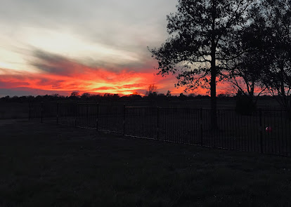
| Photo by Kathleen Smith |
Tonight's Wichita sunset (above) featured clouds in the western sky that are on the leading edge of the storm that will trigger tornadoes and severe thunderstorms in the south central United States tomorrow afternoon and night.
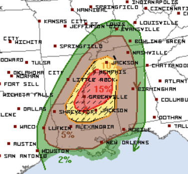
To refresh your memory, below is the NWS SPC's current forecast of a tornado outbreak in the South tomorrow.
The evening data is coming in and my current thinking is that this forecast may need to be shifted about 100 miles to the south. For now, if I were in Jackson, Monroe and Hattiesburg, I would consider myself to be in a high tornado risk region and prepare accordingly.
Of course, I will update all of this in the morning.


Comments
Post a Comment