Update on Powerful Hurricane Ian
Note: There is a newer update here.
-- original posting --
Below is an update as to the Ian's position and strength.
This is a very dangerous hurricane that will cause a great deal of destruction and danger to life. It will rapidly strengthen this afternoon.
11:10am Tuesday: I have added elements of the 11am forecast package from the National Hurricane Center. See below:
I predict the strengthening will continue when it is completely off the coast of Cuba.
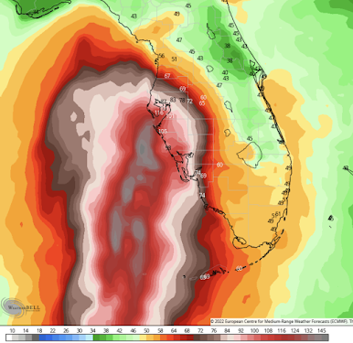
Below is my forecast of where the eye will make landfall.
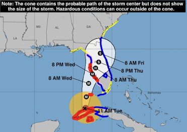
Here is the 11am track forecast from the National Hurricane Center. They have finally moved their forecast to the south.
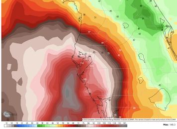
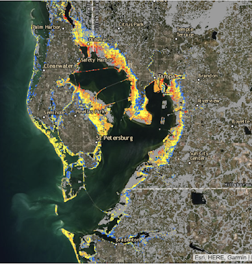
And, here is a closeup of the Tampa Bay area.
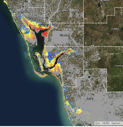
Here is an overview of the storm surge situation.
Here are the storm surge details: Here are the National Weather Service's maps:
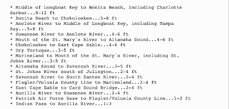
Extreme storm surge is forecast in the Cape Coral - Port Charlotte area and in parts of Tampa Bay. This is an extremely dangerous situation.
From the Hurricane Center, here are updated 11am surge forecasts:
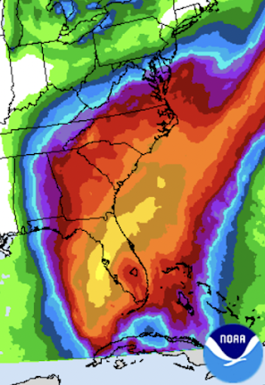
Flooding rains are likely in the Florida Peninsula and in parts of the Southeast.






Comments
Post a Comment