Heads Up! Important Storm Information
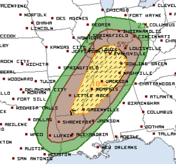
Tornado outbreak is forecasted by the NWS's Storm Prediction Center from the lower Ohio Valley to east Texas Friday night.
Here is how to interpret the above forecast:
- The brown is the "significant" level of tornado risk.
- Yellow is an elevated risk (statistically double the the risk in the brown area) and the hatching means that strong tornadoes are possible.
Since it has been a while since we have had anything like this, remember:
- Have at least two sources of storm warnings. These can be an app like AccuWeather's, a weather radio, etc. TV and sirens don't count because they won't wake you up.
- Make sure your storm shelter is ready to go. Clear cobwebs. Have flashlight, bottle of water, diaper(s), and radio. Always wear shoes into your shelter.
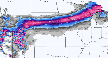
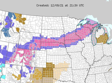
In addition, we have a major winter storm in the Great Plains and Midwest.
 |
| click to enlarge |


Comments
Post a Comment